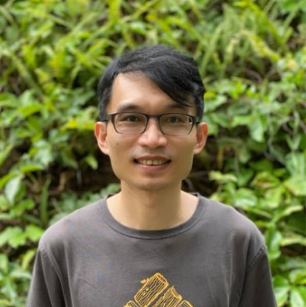
Dr. Mang Lung CHEUK
Senior GIS Specialist
Flora Conservation Department

Mang Lung Cheuk is a Senior GIS Specialist at Kadoorie Farm and Botanic Garden, where he manages and maintains the GIS database for the garden. The maps he created provide essential information for daily decision-making. Since he started studying GIS Master degree in the United States, he was entitled “GIS wizard” for his efficiency in using GIS. His wizard’s skill further improved by learning programming languages such as VBA, python and R-scripts. His experience in studying the spatial uncertainty on land-use change and atmospheric dispersion model during his master and PhD enables him to model the relationship between forest habitat and climate change. Besides nature, he also loves advanced technologies such as UAV and LiDAR. Taking tree survey using FieldMap software, creating detailed forest inventory using drone images and investigating drone seeding machines are some of his works in coupling advanced technologies with nature conservation.
Selected publications:
Cheuk, M.L. & Yuan, M. (2009) Assessing Spatial Uncertainty of LiDAR-derived Building Model: A case study in Downtown Oklahoma City. Photogrammetric Engineering & Remote Sensing, 75, 257–270.
Pontius, R.G. & Cheuk, M.L. (2006) A generalized cross-tabulation matrix to compare soft-classified maps at multiple resolutions. International Journal of Geographical Information Science, 20, 1–30.
Pontius, R.G.J. & Cheuk, M.L. (2005) Using indices to track changes in land use. Millennium Ecosystem Assessment, Ecosystems and Human well-being: Policy Responses, Volume 3 (ed. by K.Chopra, R.Leemans, P.Kumar, and H.Simons), Island Press, Washington, D.C.

